Description
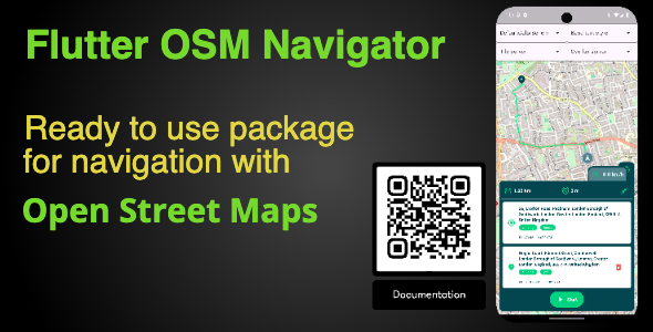
Flutter OSM Navigation Plugin
Flutter OSM Navigation Plugin is a powerful and versatile plugin designed for integrating OpenStreetMap (OSM) navigation into Flutter applications. With this plugin, developers can easily embed map-based navigation features, such as real-time route planning, geolocation, and turn-by-turn navigation, into their Flutter apps. This is ideal for building applications related to travel, logistics, local services, or navigation-based features that require accurate and dynamic mapping.
Key Features of Flutter OSM Navigation Plugin:
1. Seamless OpenStreetMap Integration:
- OSM Maps Integration: Directly integrates OpenStreetMap data for reliable, free, and open-source map-based navigation.
- Custom Map Layers: Supports adding custom layers, markers, and overlays to maps for enhanced functionality.
- Real-Time Map Rendering: Smooth and responsive map rendering for an interactive user experience.
2. Navigation and Routing Features:
- Turn-by-Turn Navigation: Provide users with step-by-step directions for driving, walking, or cycling.
- Route Planning: Calculate the best route between two or more locations, supporting multiple transportation modes.
- Traffic Awareness: Real-time traffic information for more accurate route recommendations.
- Multiple Route Options: Allow users to choose from alternative routes based on distance, time, or other factors.
3. Geolocation Support:
- Real-Time Location Tracking: Track the user’s location with high accuracy using GPS or network-based positioning.
- Location Updates: Continuously update location data during navigation for dynamic route adjustments.
- Geofencing Support: Trigger specific actions when a user enters or exits predefined geographic areas.
4. Interactive Map Features:
- Markers and Pins: Add interactive markers or pins to highlight locations, points of interest, or destinations.
- Zoom and Pan: Intuitive zoom and pan features for users to navigate and explore the map freely.
- Map Styling: Customize the appearance of the map to match the app’s branding or user preferences.
5. Multi-Platform Compatibility:
- Cross-Platform Support: Fully supports both Android and iOS devices, providing a consistent experience across platforms.
- Responsive UI: The map and navigation components are optimized for different screen sizes and resolutions.
6. Developer-Friendly Features:
- Simple API Integration: Easy-to-use API with well-documented methods for smooth integration into Flutter apps.
- Modular and Extensible: Highly customizable, allowing developers to tailor the navigation experience to their app’s needs.
- Open Source: Leverage the full power of OpenStreetMap, an open-source mapping platform with no licensing fees.